
Tyne & Wear Metro
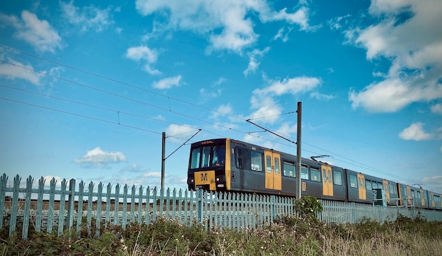
The Tyne and Wear Metro is a rapid transport system that has been in operation for over 40 years. With 60 stations located across Tyne and Wear, the Metro provides access to some of the most popular attractions in Newcastle upon Tyne, Sunderland, and beyond.
The iconic yellow and black logo of the Tyne and Wear Metro is hard to miss, and the system is easily identifiable at stations throughout the region. The Metro provides a convenient way to get around the area, whether you’re heading to the city centre, the airport, or the coast.
As part of the Newcastle Can initiative, a step-by-stop active travel guide has been created for the Metro system. This guide includes information about the time it takes to walk between each station, making it easy to build exercise into your daily routine. To find out more about Newcastle Can or to sign up to the city-wide initiative visit www.newcastlecan.com. There are 22 walks that take under 15 minutes, and nine that take just 10 minutes or less. The guide is a great way to get active and explore the area at the same time.
There are many stations that are within walking distance of one another, especially if you’re travelling to or from the city centre. And if you’re feeling up for it, take the stairs instead of the escalator to add even more activity to your day.
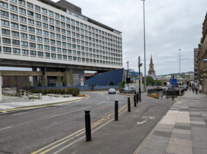
The Tyne and Wear Metro provides easy access to some of the best attractions in Newcastle upon Tyne and the surrounding area. Some of the most popular stops on the Metro include Newcastle city centre, Newcastle Airport, and the seafronts at North and South Tyneside. Whether you’re interested in exploring the city’s museums and galleries, shopping, or enjoying some of the region’s beautiful scenery, the Metro makes it easy to get around.